
A drone does not look after the turf, but it can show you where to look. Drones on golf courses have gone from being a promotional toy to a support tool for the greenkeeper, as long as they are used with clear objectives and with respect for flight regulations.
We review six applications where they add real value: turf inspection, irrigation support, tree monitoring, tracking works, communication with the club and safety. We also discuss their limits, because a beautiful aerial image does not replace the judgement of someone who knows the course metre by metre.
Drones on golf courses for turf inspection: see the pattern before the problem
With a suitable camera, differences in colour, density and stress that go unnoticed at ground level can be seen from the air. The driest areas, disease rings or compaction patches draw patterns that suggest their cause: a straight line points to machinery or a buried line, a circle to a sprinkler, a stripe to a fertiliser spreading problem.
Drones on golf courses let you repeat the same flight at regular intervals and compare images from one week to the next. That visual follow-up helps detect changes early, although the diagnosis must always be confirmed on the ground, with samples or with a technician. It pays to always fly at the same height and at similar times, in similar light, because a different shadow or an overcast sky can make something look like a problem when it is only a change in illumination.
Irrigation support: locate leaks and misadjusted areas
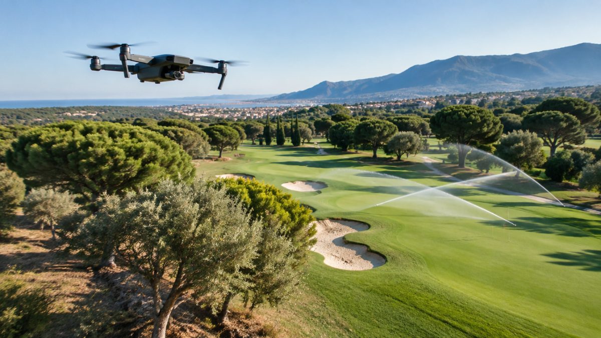
Among the most practical uses of drones on golf courses is irrigation. An area greener than normal may hide a leak; a yellow patch in the middle of a healthy sector, a clogged sprinkler. With an aerial view after irrigation, or with suitable cameras, it is easier to find those spots than by walking hundreds of metres.
Do not expect miracles. A drone does not measure flow rates or pressures, but it does show where to look. Combined with field inspection and the meter, it speeds up an irrigation audit and helps prioritise repairs. It also lets you document, before and after a repair, the state of a problem sector and check that the fix has really worked. To make it useful, always note the time of the flight, the conditions and the findings.
Tree monitoring and hard-to-reach areas
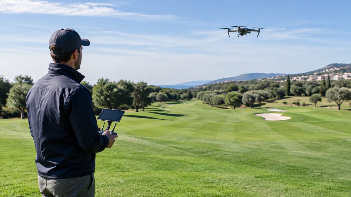
With trees, drones on golf courses reduce risk. Checking crowns, spotting dead branches or locating pines with processionary nests sometimes means climbing or hiring platforms. An aerial view of the crown, from a safe distance, can reduce the risk to staff and better guide pruning.
- Identify trees with a badly weakened crown or defoliation.
- Assess the shade they cast over greens and tee boxes at different times.
- Inspect lakes, slopes and rough areas where getting there on foot is slow or dangerous.
In this area, drones on golf courses complement the tree inventory without replacing a professional’s assessment.
Tracking works, bunkers and improvement projects
For drones on golf courses, tracking works is a very rewarding use. When there are remodelling works, new tee boxes, bunker rebuilds or drainage changes, a series of periodic images from the same point documents progress better than a handful of loose photos. It helps coordinate with contractors, check deadlines and keep a clear visual reference of before and after.
It also helps assess erosion on slopes and bunkers after heavy rain and decide which repairs are a priority. To get the most out of it, define a repeatable flight route and a frequency in advance, for example monthly or after each major rainfall.
Communication, image and event planning
The best-known application of drones on golf courses is audiovisual, and it has its place: hole videos, website photos and tournament material. But aerial imagery is also useful for explaining to the committee or members why an intervention is being carried out, showing the problem on the ground instead of describing it.
At events and tournaments, an overview helps plan the location of marquees, car parks, spectator areas and emergency access. It is an agile way to coordinate the crew and the organisers on a single map. If the course shares images on social media, define who approves them and which areas are not shown, for security and out of respect for the privacy of neighbours and members.
Safety and compliance: fly with your head
Before buying or hiring anything, however tempting it may be to take off as soon as possible, you need to know the current flight requirements: registration, pilot training, insurance, restricted zones and conditions on flying over people. Drones on golf courses often operate near players, homes and sometimes airfields, and that calls for judgement and permits.
- Hire a qualified operator or train someone on the team, depending on how often you will use it.
- Avoid flying over players or staff without authorisation and comply with current regulations.
- Set flight protocols: times, areas, notices and a record of each mission.
- Store images with date and location, so they work as a history.
The value of drones on golf courses lies in consistency and method. An occasional flight with a good video impresses; a monthly series of comparable images guides decisions.
Further reading: AESA. To learn the requirements for operating unmanned aircraft in Spain, consult the State Aviation Safety Agency (AESA).
Frequently asked questions
What are drones on golf courses really for?
Above all they serve as an observation tool: detecting stress patterns in the turf, guiding irrigation checks, inspecting trees, documenting works and supporting communication with the club. They do not diagnose on their own or replace field inspection, but they help decide where to look first.
Do you need authorisation to fly a drone on a course?
Yes, you must comply with current regulations for operating unmanned aircraft, which include requirements for the pilot, the equipment, insurance and flight zones. Before starting, consult the competent aviation authority or a qualified operator, and check the particularities of your course's surroundings.
Is it better to buy a drone or hire the service?
It depends on how often you will use it. With drones on golf courses, if you only need images for promotion or occasional inspections, hiring a qualified operator is usually simpler. If you expect regular monitoring flights, training someone on the team and having your own equipment can be more convenient, as long as regulations are met.
Keep reading
- Irrigation audit: steps to detect losses Irrigation audit: 7 steps to detect water losses
- Tree management on golf courses: pruning criteria Tree management on golf courses: 6 pruning criteria
- Daily greenkeeper planning: effective steps Daily greenkeeper planning: 6 effective steps